


Strategic Headland and Ngāti Māmoe Origins
Te Rae o Te Karaka occupied a narrow, elevated promontory extending into Tōtaranui / Queen Charlotte Sound between Waikawa Bay and Whatamango Bay, approximately five to six miles north-east of Picton.1,2,3 The headland pā was established by early Ngāti Māmoe inhabitants and took its name from their rangatira, Te Karaka.2,3
The stronghold was later assaulted by Ngāi Tahu forces led by the chiefs Tūāhuriri and Te Kurī, during which Te Karaka was killed and the defending occupants were driven south into the Wairau district.2 Following the conflict, Ngāti Māmoe established new settlements at Pari-nui-o-Whitu near the Vernon Bluffs and Hikurangi near Renwick, while Te Rae o Te Karaka lost its mana and remained unoccupied by Ngāi Tahu.2 In subsequent generations, succeeding tribal groups held and fortified the headland due to its commanding vantage over marine channels and food gathering areas.3
Earthworks and Archaeological Landscape
Covering roughly two acres along a flat-topped ridge, the stronghold was defended by forty-foot cliffs on three sides alongside an excavated ditch across the landward neck.2 These natural and constructed barriers were reinforced with timber stockades and elevated fighting towers to repel approaching canoes.2,3
Archaeological surveys recorded distinct structural features across the site, including large and small whare pits, a double pit, potential water storage depressions, and preserved hearth stones.2 The visible defensive ramparts and domestic terraces reflect settlement activity dating potentially from the early 1700s.1
A 15-minute walking track from the carpark on Port Underwood Road leads through these visible earthworks, which are formally catalogued as archaeological site S16/198.1,2,3
The Musket Era and the 1829–1830 Battle
Between 1827 and 1830, migratory movements of musket-armed northern iwi into the Marlborough Sounds altered regional warfare.1,2,3 Following raids across East Bay and Endeavour Inlet, allied Rangitāne and Ngāti Apa forces retreated to the fortified promontory believing the position to be impregnable.3
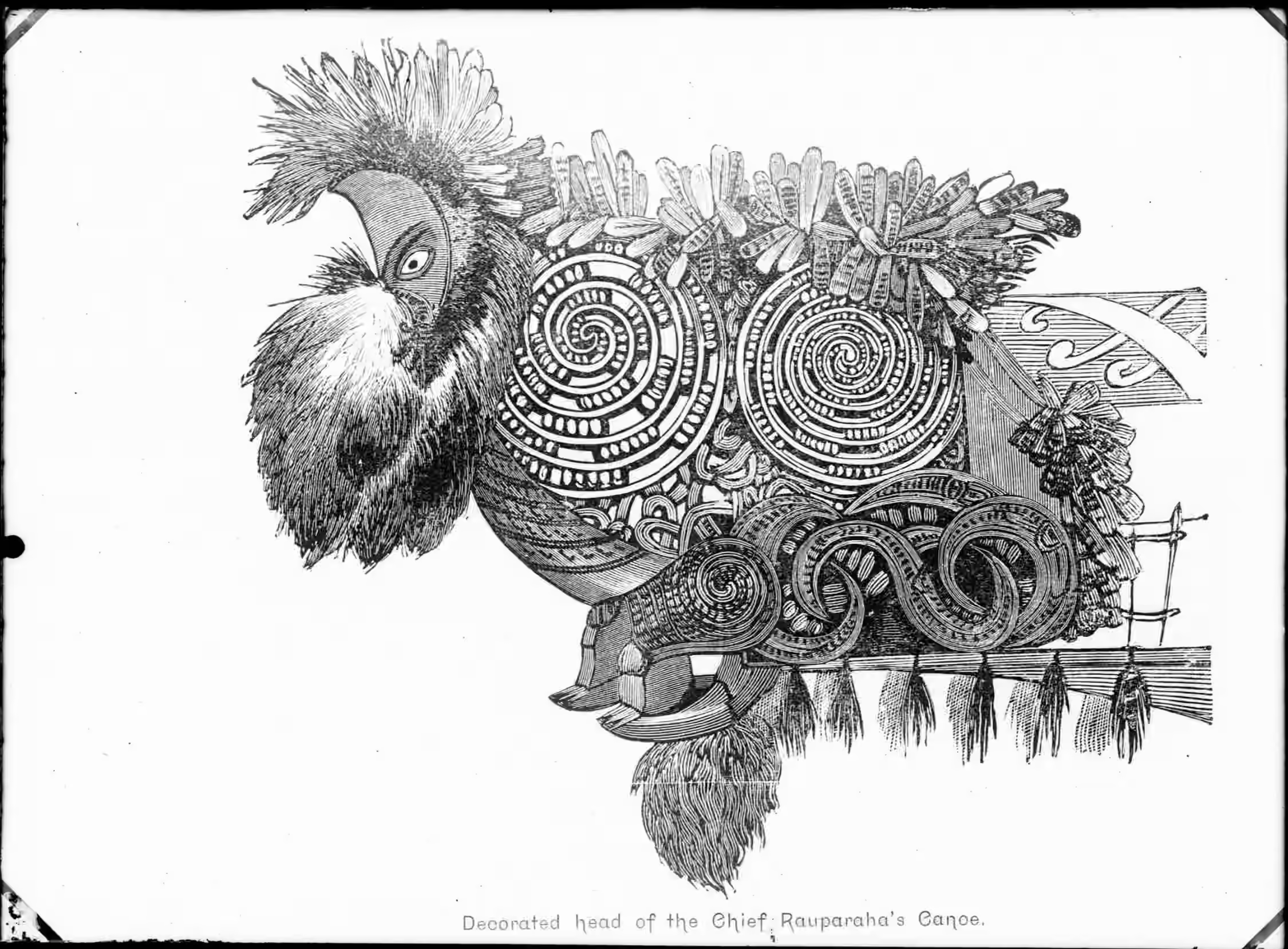
During the summer of 1829–1830, invading warriors commanded by Te Ātiawa and Ngāti Toa rangatira Te Rauparaha encircled the headland by water and land.1,3 While defenders manned the palisades with traditional spears and throwing stones, armed landing parties took up concealed positions within the mānuka scrub along the narrow neck.3
Musket fire from approaching waka targeted the defending chiefs, causing panic that prompted the occupants to unbar the landward gates and attempt an escape up the hillside.3 The concealed forces in the scrub ambushed the retreating defenders, resulting in the annihilation of the occupants and the permanent destruction of the settlement as a defensive stronghold.3
Pastoral Farming, Pou Whenua, and Reserve Status
Following the abandonment of the pā, European settlers cleared and farmed the open headland for several decades before the property was gifted to the Crown.3 In August 1953, the area was formally gazetted as a Scenic and Historic Reserve to preserve its significant earthworks and landscape values.3
Rangitāne subsequently erected a carved pou whenua on the reserve commemorating the traditional narrative of Kupe and his encounter with the giant wheke in Cook Strait.3 Today, fenced pathways and interpretive panels provide public access from the shoreline to the lookout, allowing visitors to view the archaeological features while maintaining respect for the wāhi tapu.1,3